This guide provides instructions and detailed explanations of the primary tools available in TreePlotter CANOPY™, an interactive web-based application designed for viewing, planning, and enhancing urban tree canopy. Being hosted entirely in a browser means users do not need to install complex software or handle large files; any device with internet access can connect to the platform.
Beyond its user-friendly interface, TreePlotter CANOPY offers a robust suite of cartographic and administrative tools for exploring urban tree canopy data. Users can select from multiple data layers, zoom into specific regions, and generate customized maps that highlight canopy coverage and potential planting areas. These features enable professionals and community members alike to collaborate on canopy assessments and share findings without requiring extensive GIS experience.
Through three straightforward tools (namely the View, Plan, and Grow tools), TreePlotter CANOPY allows users to visualize geographic boundaries and identify their corresponding UTC coverage. Whether analyzing municipal parcels, dissemination areas, or other defined areas, this platform streamlines the process of gathering and interpreting critical urban forest data.
The tools can be accessed by clicking the CANOPY icon in the top right (shown in the image below).

View Tool:
The first and simplest tool in CANOPY is called “View.” This tool lets users interact with all their geographic assessment boundaries. Users can filter these boundaries to visualize the percentage of tree canopy, potential planting areas, and other tree canopy metrics, such as land cover classes. Click the Launch View Tool button in your CANOPY app to use this tool. For a more detailed overview of the View tool, click here.

Plan Tool:
The second tool is named “Plan.” It helps prioritize where new trees should be planted and identifies areas that would benefit the most from expanded canopy coverage. The Plan tool uses a mix of demographic, socioeconomic, and environmental data, along with existing tree canopy and available planting space information, to pinpoint the most crucial areas for future canopy growth and planting sites. Click the Launch Plan Tool button in your CANOPY app to use this tool. For a more detailed overview of the Plan tool, click here.

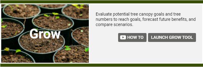
Grow Tool:
The final CANOPY tool is called “Grow.” This tool can forecast canopy growth goals. It allows users to estimate the increase in Urban Tree Canopy (UTC) by simulating future canopy cover scenarios, taking into account the mortality rate and size of new tree plantings. The tool also reports the current and forecasted ecosystem benefits provided by the tree canopy area. Click the Launch Grow Tool button in your CANOPY app to use this tool For a more detailed overview of the Grow tool, click here.