
This tutorial overviews the available basemaps in TreePlotter and the functionality of each type of map.
Topics covered in this tutorial:
- Basemap Overview
- Advanced Basemap Properties
- Basemap Navigation
- ESRI World Imagery
- Google Hybrid
- Google Satellite
- OpenStreetMap Light
- Known Limitations
- Next Steps
Basemap Overview
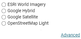
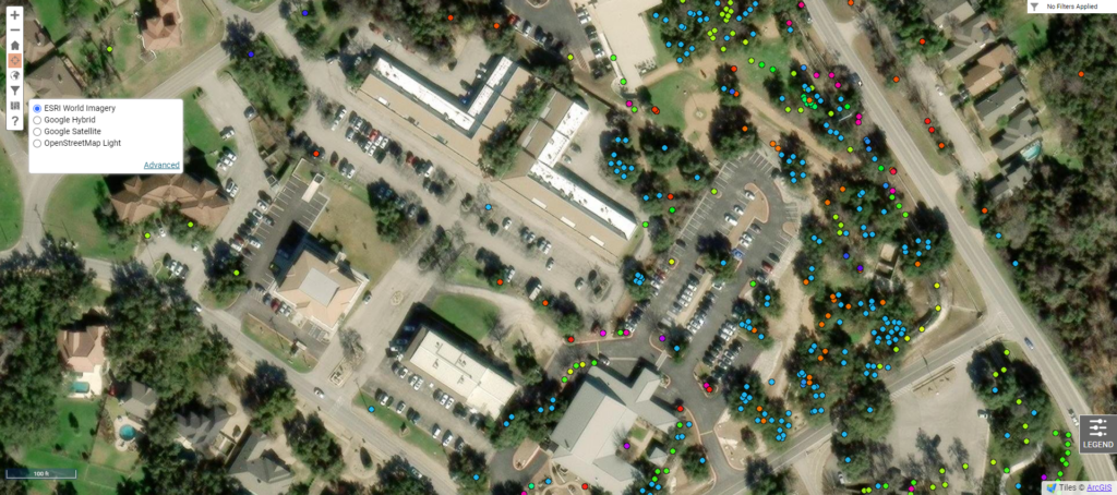
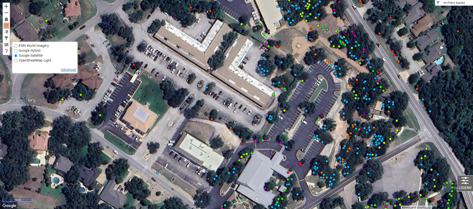
A basemap serves as a reference image for which assets (e.g. trees) are overlaid. TreePlotter comes with four standard basemap selections: ESRI World Imagery, Google Hybrid, Google Satellite, and OpenStreetMap Light. A basemap selection can be made by clicking one of the radio-buttons to the left of the name of the basemap.
Advanced Basemap Properties
The ‘ADVANCED’ button displays the Map Properties submenu which includes basetile selection for the chosen basemap. Basetiles are the reference imagery tiles that are compiled to create the basemap. For instance, when Google imagery is selected, the basetiles can be changed to display the following: Hybrid (mixture of normal and satellite views), Roads (default roadmap view), Satellite (Google Earth satellite images), and Terrain (map based on terrain data). Other basemaps (e.g. ESRI World Imagery and OpenStreetMap Light) contain their own sets of basetiles.
If the basemap is changed with asset or other reference layers superimposed over the basemap, these data can seem to “shift” based on the different basemaps. However, this shifting is a bit of an optical illusion; the points/reference layers remain in the same location while the basemap imagery moves behind the points.
Basemap Navigation
Basemap selection can be made by navigating to the Toolbar in the upper left-hand corner of the screen and selecting the Map icon highlighted in the blue rectangle.

ESRI World Imagery
ESRI World Imagery provides one meter or better satellite and aerial imagery over many parts of the world and is generally current to within 3-5 years.
Google Hybrid
Google Hybrid provides a hybrid image of the Google Satellite and Google Roadmap images with a transparent roads layer over the satellite imagery, complete with major street and place names.

Google Satellite
Google Satellite provides a satellite image without major street or place names.
OpenStreetMap Light
OpenStreetMap Light provides a neutral colored basemap with overlaid streets and major street names.

Known Limitations:
- Zoom levels: different base maps have different zoom levels available. If one basemap isn’t providing the appropriate zoom level, try another basemap.
- Map clarity: some satellite basemaps can provide better clarity than others. For instance, in some cities the Google Hybrid basemap is the most clear while the Esri basemap may be more clear for another city.
- Assets shifting place: assets (e.g. trees) can seemingly shift due to the tiles in the base map and how they are aligned within the imagery. If you notice your assets have shifted, it is likely due to basemap changes.
- Basemap updates: PlanIT Geo does not control how frequently the basemaps in TreePlotter are updated. There may be more recent imagery available through Google maps, but the current basemap in TreePlotter might be older. PlanIT Geo recommends using the subscription-based Near Map service for the most recent basemap imagery. If you have a Near Map subscription, our Professional Services team can configure that basemap in your TreePlotter account free of charge.