
Reference Layers
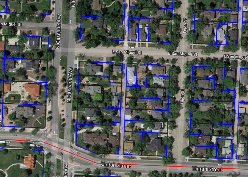
TreePlotter™ INVENTORY has the capability to store layers of geospatial data to be used as visual references while working in the app. Overlays of sidewalks, street centerlines, or other amenities can be useful when inventorying trees. Shown below is an overlay of parcel data.
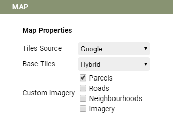
To toggle on or off the reference layers within your app, navigate to the bottom of the Filter Legend to find check boxes for each layer.
![]()
It is possible to include basic information with a reference layer but due to data size and the associated storage costs, options are limited.
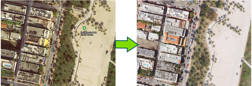
Custom Basemap Imagery
INVENTORY now has the capability to display custom imagery as a basemap. This can be very useful in situations where the default imagery is outdated, leaf-off or contains excessive shadows, for example, among other uses. Toggling on or off custom imagery is done through the Tools button.
Click on the check box next to Custom Imagery to toggle it on or off.
Nearmap Imagery
If you have an account with Nearmap, we can integrate your Nearmap imagery free of charge. You can contact PlanIT Geo Support to get the imagery added to your application. In order to configure the imagery for you, we require an API Key that can be found through your Nearmap account. Learn more about how to generate the API Key here.